Rain reveals useful information
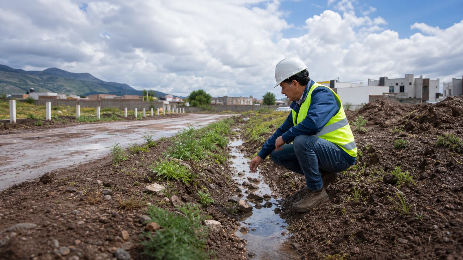
In dry-climate areas, a visit after rainfall can be valuable. It shows how water moves, where it pools and how stable the access remains.
The goal is not to reject every slope, but to understand what it implies for design, foundation and stormwater management.
Key observations
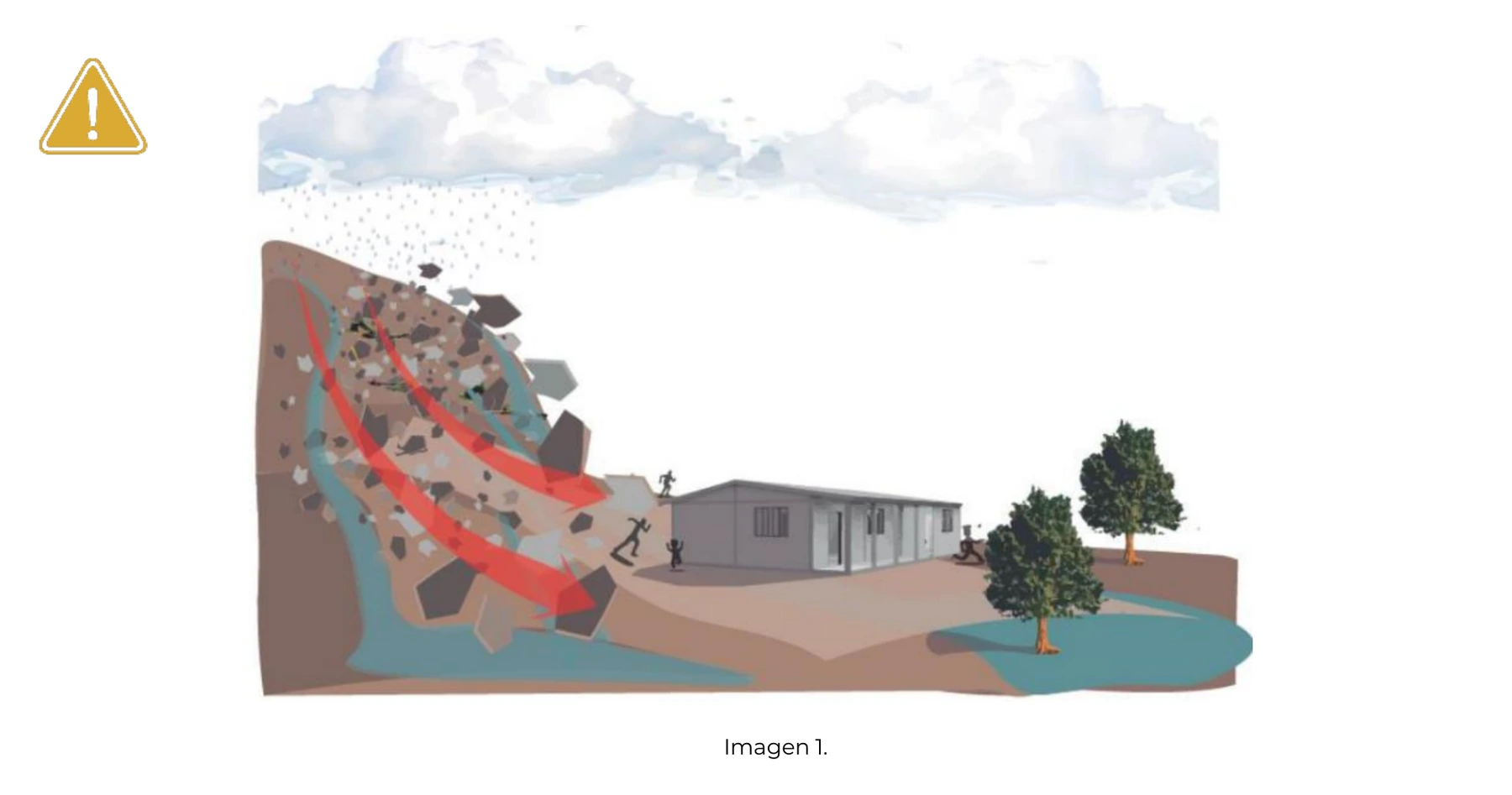
- Water marks, soil movement or rocks dragged along the street.
- Low points inside the lot or next to neighboring walls.
- Muddy access, open trenches or uncompacted roads.
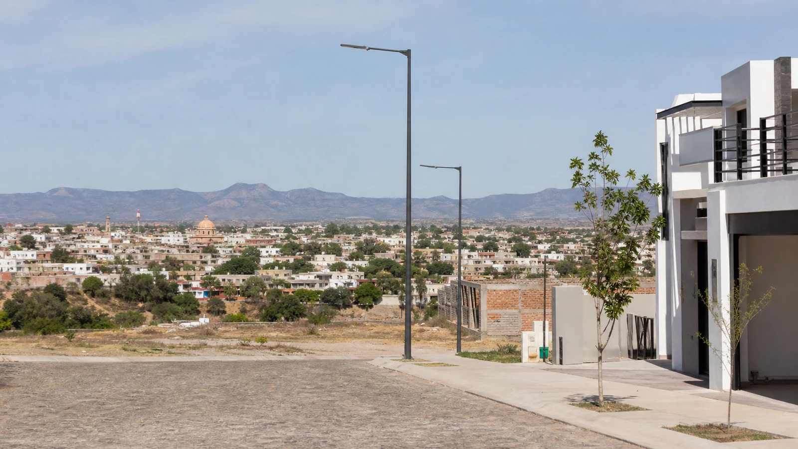
- Natural slope and probable runoff direction.
Ask before designing
If you like the lot, request technical guidance before defining the house or perimeter wall. Solving levels from the start is usually cheaper than correcting them during construction.
Observe water beyond the lot boundary
Walk the street and nearby properties first. Look for level changes, channels, drains, ditches, debris marks, sediment and points where water crosses the access. Ask how the area behaved during previous storms, but compare personal accounts with evidence and official sources. A post-rain visit shows conditions at one moment; it cannot establish every scenario or replace a topographic or drainage assessment.
Record slope, ground conditions and runoff direction
Take photographs with reference points and mark high points, low points and the apparent flow direction on a sketch. On sloping sites, note fill, cracks, erosion, retaining walls and leaning vegetation. Do not enter flooded areas, unstable slopes or moving water. If the lot remains an option, share the record with the project team so surveys, finished levels and drainage measures can be defined before design begins.
Turn observations into project questions
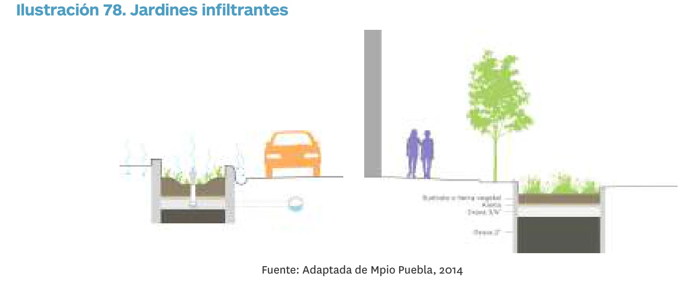
Ask who is responsible for street drainage, which works are operating, where water discharges and how the system is maintained. On the lot, determine whether grading, retaining work, collection or conveyance will change the budget and usable area. Require any solution to be sized for the site and to follow applicable approvals; an improvised outlet toward neighbors or a public street may simply transfer the problem. Keep the wet-weather record with a dry-season inspection for comparison. Ask who maintains each drainage element and how incidents are reported.
Return after an ordinary rainfall
A dry-weather visit does not show where water moves. Return after rain without entering unsafe areas. Look for mud lines, trapped debris, erosion, damp walls, persistent ponding and grade differences with streets or neighboring land. Ask residents how long water takes to drain and compare their answers with the visible site conditions.
Do not treat fill or redirected runoff as an informal solution. A change may move the problem to another property or concentrate it beside the future foundation. Take the findings to a professional who can review levels, drainage and design. Record the date, approximate rainfall and location of each sign for later comparison.