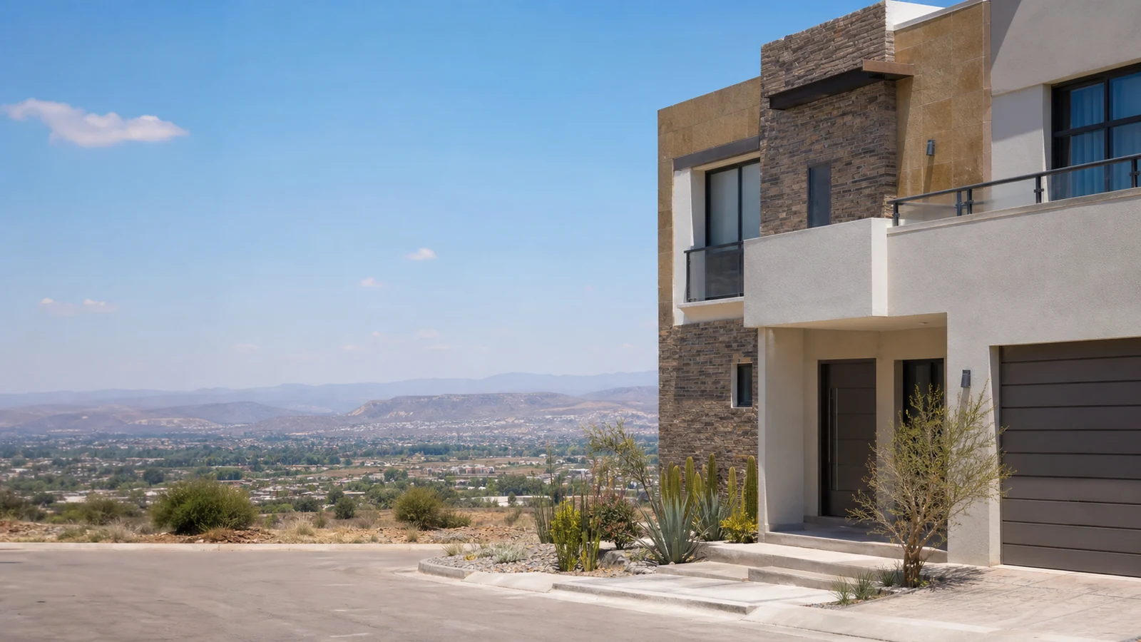
Start by identifying the exact lot
An attractive plan is not enough for a purchase decision. Locate the lot number, block, phase and north arrow, then confirm that those details match the quotation, reservation and contract. Phased developments may use similar numbering, so keep a dated copy of the plan you were given.
Separate the sales plan from the authorized or recorded plan. The first helps explain the project; the second should support verification of geometry, areas and the relationship to streets. If a dimension is unreadable, request a high-resolution copy before paying money.
Check dimensions, area and boundaries
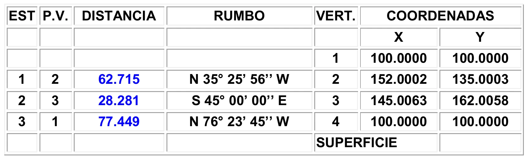
Read every side of the polygon, not only the frontage. A lot may advertise the correct area yet have a shape that complicates the garage, garden or floor plan. Multiplying width by depth works only for rectangles; irregular lots require a coordinate table or a technically calculated area.
- Write down frontage, depth, bends and the orientation of every side.
- Identify boundaries with streets, other lots, green areas or infrastructure.
- Look for corner cutoffs, easements, setbacks and affected strips.
- Compare the plan area with the contract, cadastre and available deed.
Use the plan to picture everyday life
Orientation helps anticipate sunlight, while proximity to corners, entrances and common areas helps estimate traffic and noise. Sketch the garage, pedestrian entry and building volume while respecting setbacks. This is not an architectural design, but it reveals whether the land accommodates your priorities.
Finally, walk the site. Check slopes, utility poles, access covers, drainage paths and street continuity. The plan says where each element should be; the visit shows what exists today. Keep geotagged photographs and request a written explanation for every discrepancy.
Five questions the plan should answer
If an answer depends on a future promise, record the responsible party, supporting document and expected date. Clarity is not about receiving more files; it is about connecting every sales statement to evidence and to the correct lot.
- Is the lot identifier identical on the plan, receipt and contract?
- Do the side dimensions and geometry support the stated area?
- Which restrictions reduce the land that can actually be built on?
- Where will water, drainage and electricity connect?
- Which document and authority support the version being shown?
A traffic-light test for the next decision
Green means identifiers match, dimensions are readable and the site corresponds to the plan. Yellow means an exhibit is missing or a difference may be explainable but still needs documentation. Red means the lot, area or boundaries change; an undisclosed restriction appears; or you are pressured to sign without copies. For yellow or red, pause the reservation and obtain independent technical or legal review.
Reconstruct the lot from data, not color
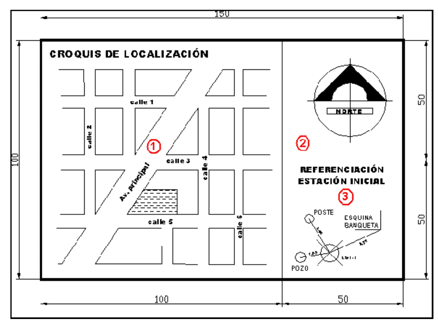
Locate north, scale, coordinate table, dimensions, boundaries, streets, restrictions and contours when present. Follow every vertex and confirm that the polygon closes. Match the lot and block with the agreement, availability record and visit. Color makes the lot easier to find, but it does not define legal area or usable dimensions.
Mark sidewalks, corner cutoffs, easements, infrastructure, level changes and solar orientation. Request the current version and ask who supports it. Test dimensions with a preliminary design before paying. If the sales drawing and technical document differ, pause comparison until you know which controls and how it will be corrected.